Advanced Hydrographic & Geophysical Survey Solutions
Mapping What Lies Beneath
HydroQuant provides professional hydrographic and geophysical survey services for marine and inland water environments. Using advanced sonar, positioning systems, and geophysical technologies, we collect and analyze underwater data to support engineering, construction, environmental, and infrastructure projects.
From lakes and rivers to coastal and offshore environments, HydroQuant delivers accurate information about water depths, seabed conditions, sediment layers, and subsurface structures.
Understanding underwater environments is critical for safe and successful project planning
HydroQuant specializes in high-resolution mapping and investigation of underwater areas, helping clients understand what exists on the surface, beneath the seabed, and within the underlying geological layers.
Our expertise combines hydrography, geophysics, GIS data processing, and marine technology to provide reliable survey solutions for complex underwater challenges.
We support engineering firms, government organizations, utilities, environmental consultants, and marine industries with accurate data needed for informed decision-making.
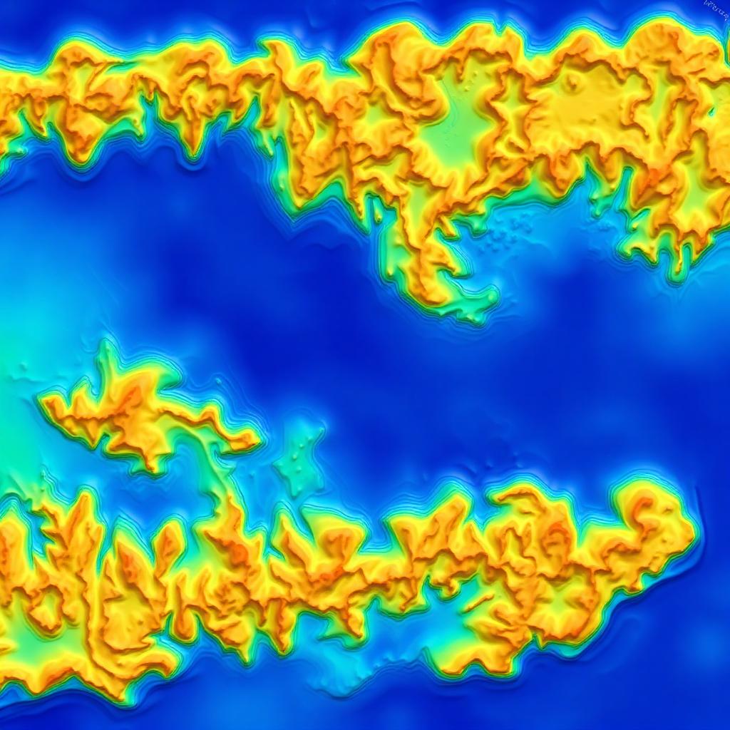
Professional survey services for underwater environments
From bathymetric mapping to subsurface investigation — engineering-grade data for the full project lifecycle.
Hydrographic Survey Services
HydroQuant provides detailed underwater mapping and depth measurement using advanced hydrographic technologies. Our deliverables provide accurate digital models and survey data for engineering and operational needs.
- Bathymetric mapping
- Underwater terrain modeling
- River and lake mapping
- Reservoir surveys
- Port and harbor surveys
- Navigation channel assessments
- Dredging planning
Geophysical Survey Services
HydroQuant investigates the physical characteristics beneath underwater surfaces. Using specialized acoustic and geophysical equipment, we help clients reduce uncertainty and better understand ground conditions before development begins.
- Sediment layers
- Geological formations
- Bedrock depth
- Buried objects
- Subsurface anomalies
- Potential construction hazards
Sub-Bottom Profiling & Sediment Analysis
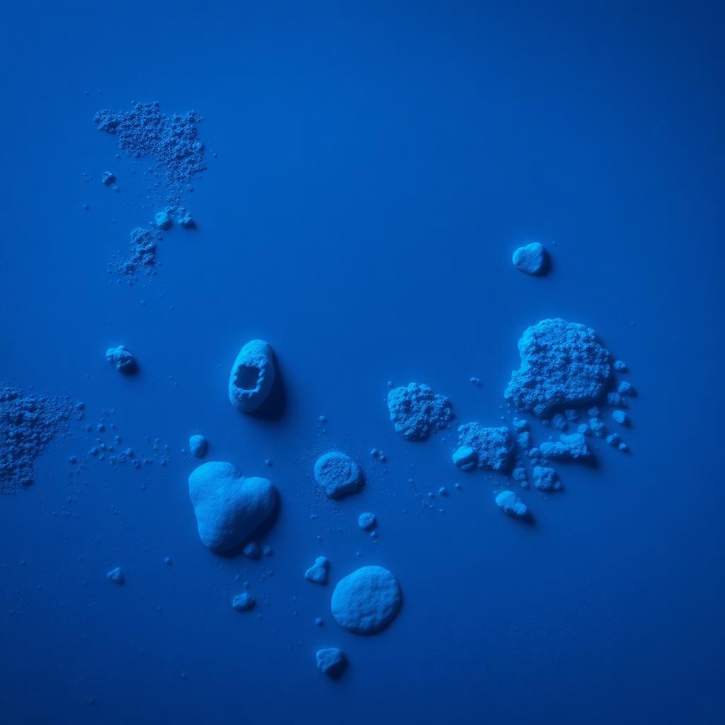
Understanding what lies beneath the bottom surface is essential for many engineering projects. Our sub-bottom investigations provide information about sediment thickness, geological layers, soil conditions, historical sediment accumulation, and subsurface features.
- Marine construction
- Pipeline and cable routes
- Dredging projects
- Reservoir management
- Environmental assessments
Inland Water Surveys
HydroQuant specializes in surveys of lakes, rivers, reservoirs, dams, water treatment facilities, and industrial ponds. Our services help organizations monitor sediment buildup, evaluate water storage capacity, support flood management, assess underwater infrastructure, and maintain safe operations.
- Lakes
- Rivers
- Reservoirs
- Dams
- Water treatment facilities
- Industrial ponds
Marine Infrastructure Support
Reliable underwater data is essential for the development and maintenance of marine infrastructure. HydroQuant supports bridges, ports, harbors, offshore structures, pipelines, subsea cables, and coastal protection projects.
- Bridges
- Ports
- Harbors
- Offshore structures
- Pipelines
- Subsea cables
- Coastal protection projects
Reduce risk and build with confidence
Accurate underwater data allows better planning, safer construction, and long-term protection of the environments we build in.
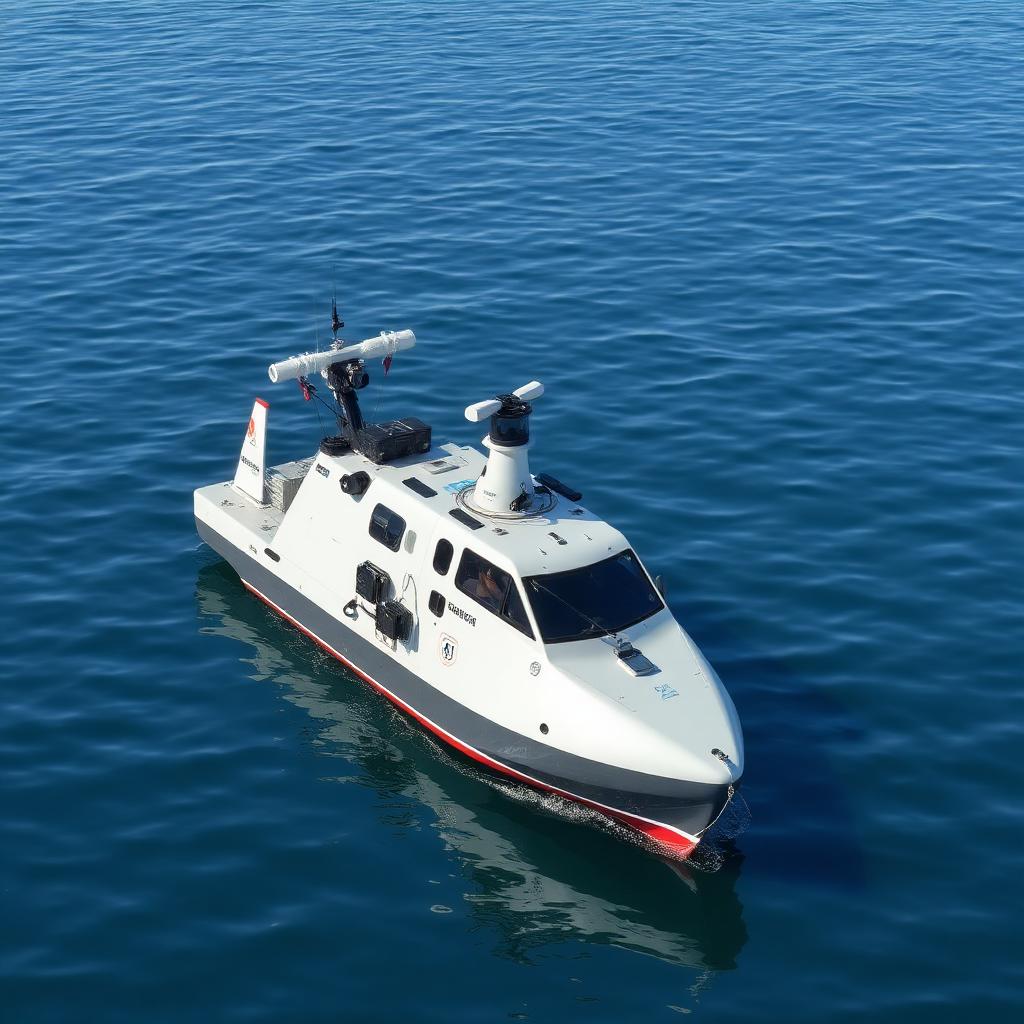
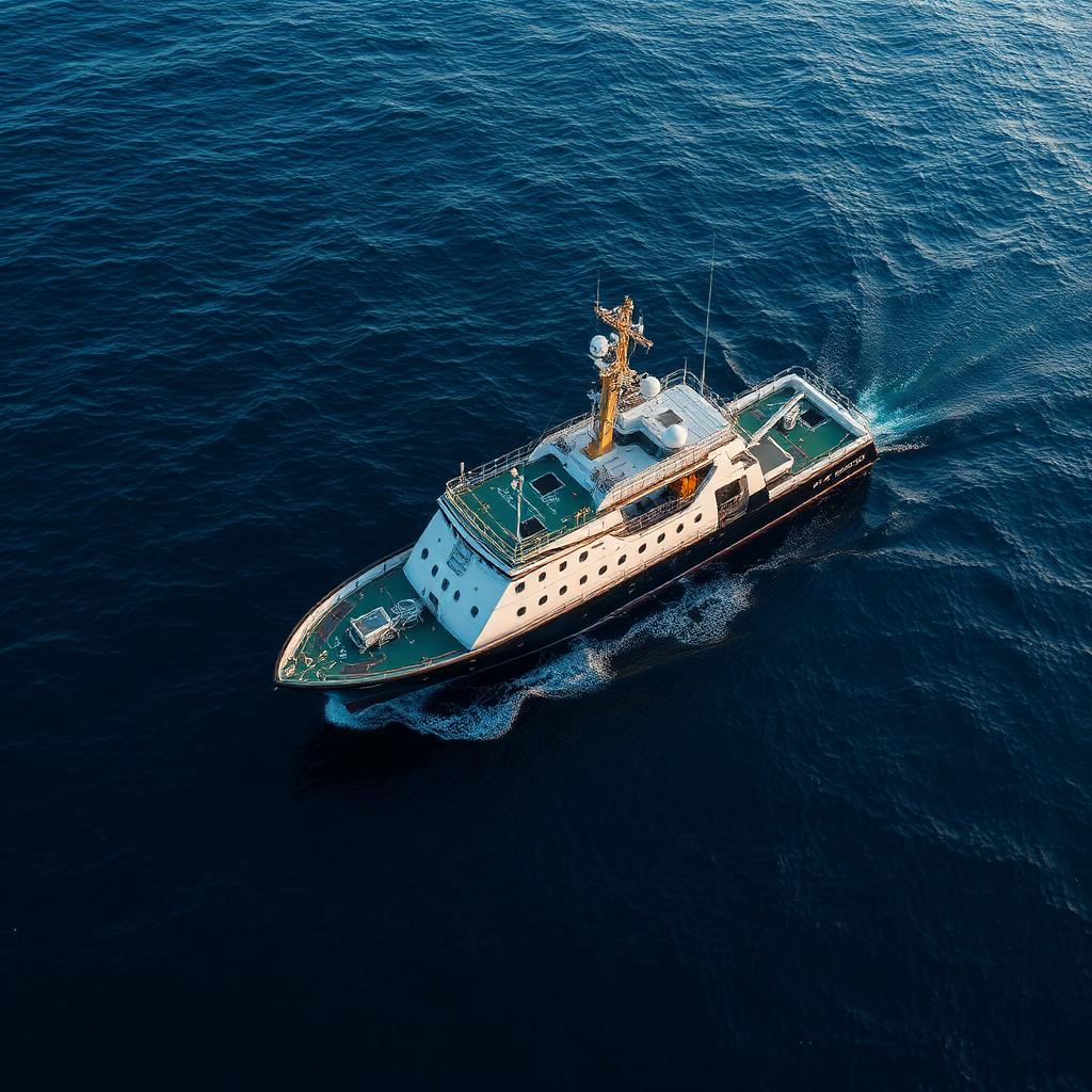
Modern survey systems for accurate and reliable underwater data
Advanced processing transforms field data into clear engineering-ready reports, maps, and digital models — ready for engineers, planners, and decision-makers.
Trusted across water-critical sectors
Reliable data for informed decisions
Exploring new ways to make oceans safer
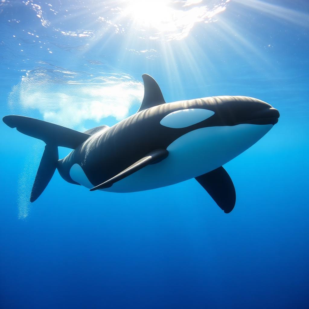
Safer navigation
Deeper awareness
HydroQuant is exploring innovative approaches to improve marine awareness and vessel safety. The OrcaSafe™ initiative focuses on monitoring marine mammal activity through advanced acoustic monitoring, environmental data collection, and predictive mapping technologies.
The project aims to improve understanding of marine wildlife movement patterns and support safer navigation in areas with increased vessel interactions.
- Hydroacoustic monitoring
- Underwater sensor networks
- Vessel traffic analysis
- Environmental data collection
- Predictive mapping technologies
Reliable Data. Better Decisions. Deeper Understanding.
Whether you are planning infrastructure, managing water resources, conducting environmental studies, or developing marine projects, HydroQuant provides the underwater intelligence required for successful outcomes.